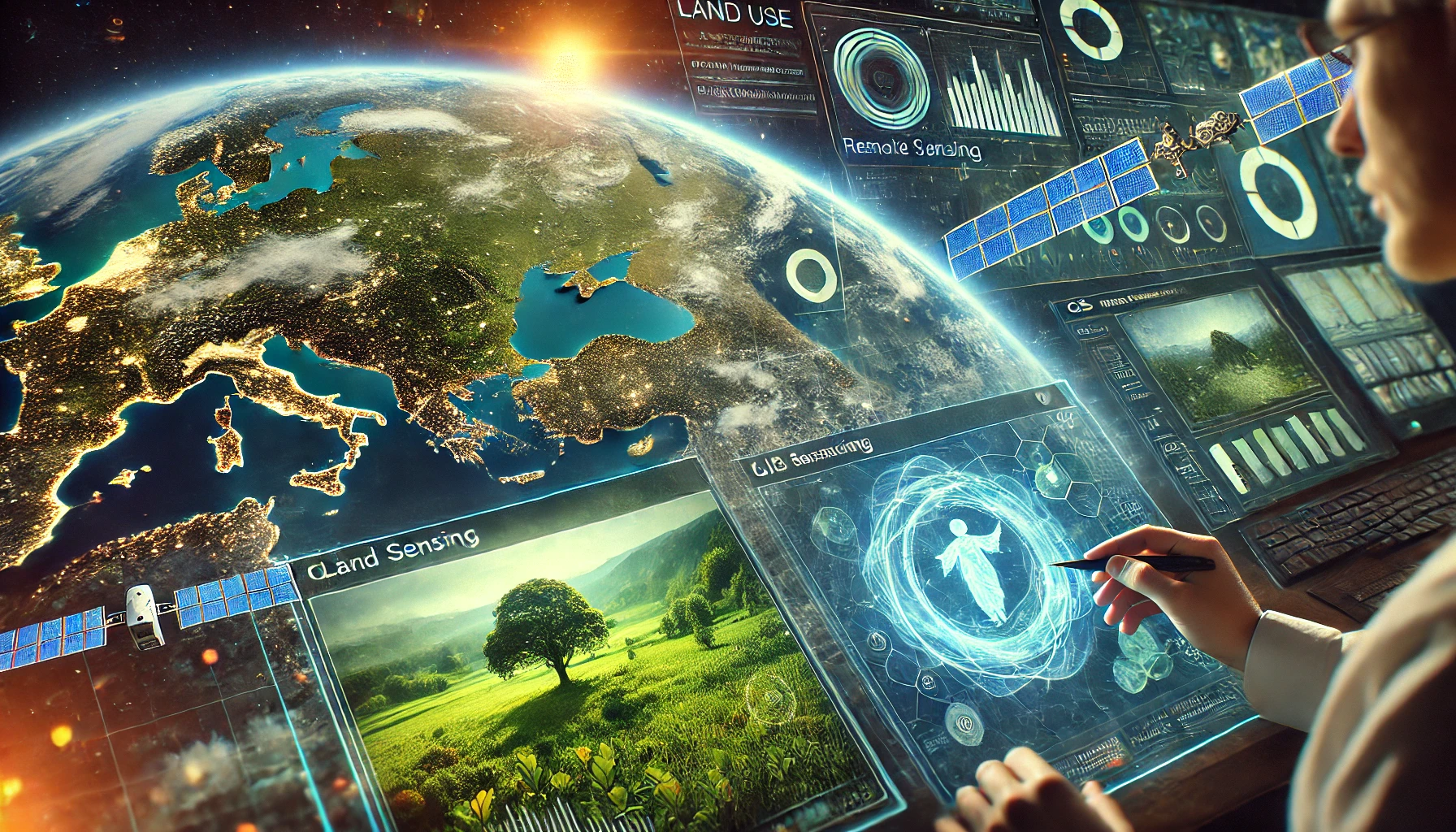
How GIS and Remote Sensing Can Enhance Environmental Sustainability
In today's rapidly evolving world, leveraging Geographic Information Systems (GIS) and remote sensing technology is key to protecting our environment. These tools empower us to monitor changes, manage natural resources, and drive sustainable development.
1. Mapping Environmental Changes
Remote sensing, combined with GIS, enables the visualization of environmental changes over time. By analyzing satellite imagery and aerial data, we can monitor deforestation, urban encroachment, and the impacts of climate change, laying the groundwork for timely interventions.
2. Monitoring Natural Resources and Land Use
GIS and remote sensing offer a detailed look at the distribution and condition of vital natural resources such as water bodies, forests, and agricultural lands. This information is crucial for developing sustainable land use strategies and ensuring that resource extraction does not compromise ecological balance.
3. Sustainable Urban Planning
Urban planners are increasingly relying on GIS and remote sensing data to design sustainable cities. By evaluating land use, transportation networks, and green space distribution, these technologies help create urban environments that minimize environmental impact and enhance quality of life.
4. Tracking Pollution and Climate Change
Remote sensing provides real-time data on air and water quality, helping track pollution sources and understand climate change dynamics. Coupled with GIS analysis, policymakers can develop targeted strategies to reduce emissions, manage waste, and mitigate the adverse effects of climate change.
5. Conserving Biodiversity
The integration of GIS and remote sensing is vital for biodiversity conservation. By identifying critical habitats and monitoring changes in land cover, conservationists can design protected areas and implement management plans to preserve endangered species and maintain ecological balance.
Conclusion
The combined power of GIS and remote sensing is transforming our approach to environmental sustainability. These technologies provide the insights needed to manage natural resources wisely, design eco-friendly urban landscapes, and combat pollution and climate change. If you're passionate about using technology for sustainable development, contact me to learn more about these innovative strategies.