Get in touch
Hours
Monday - Friday: 8:00am - 10:00pm
Sunday: 9:00am - 12:00pm
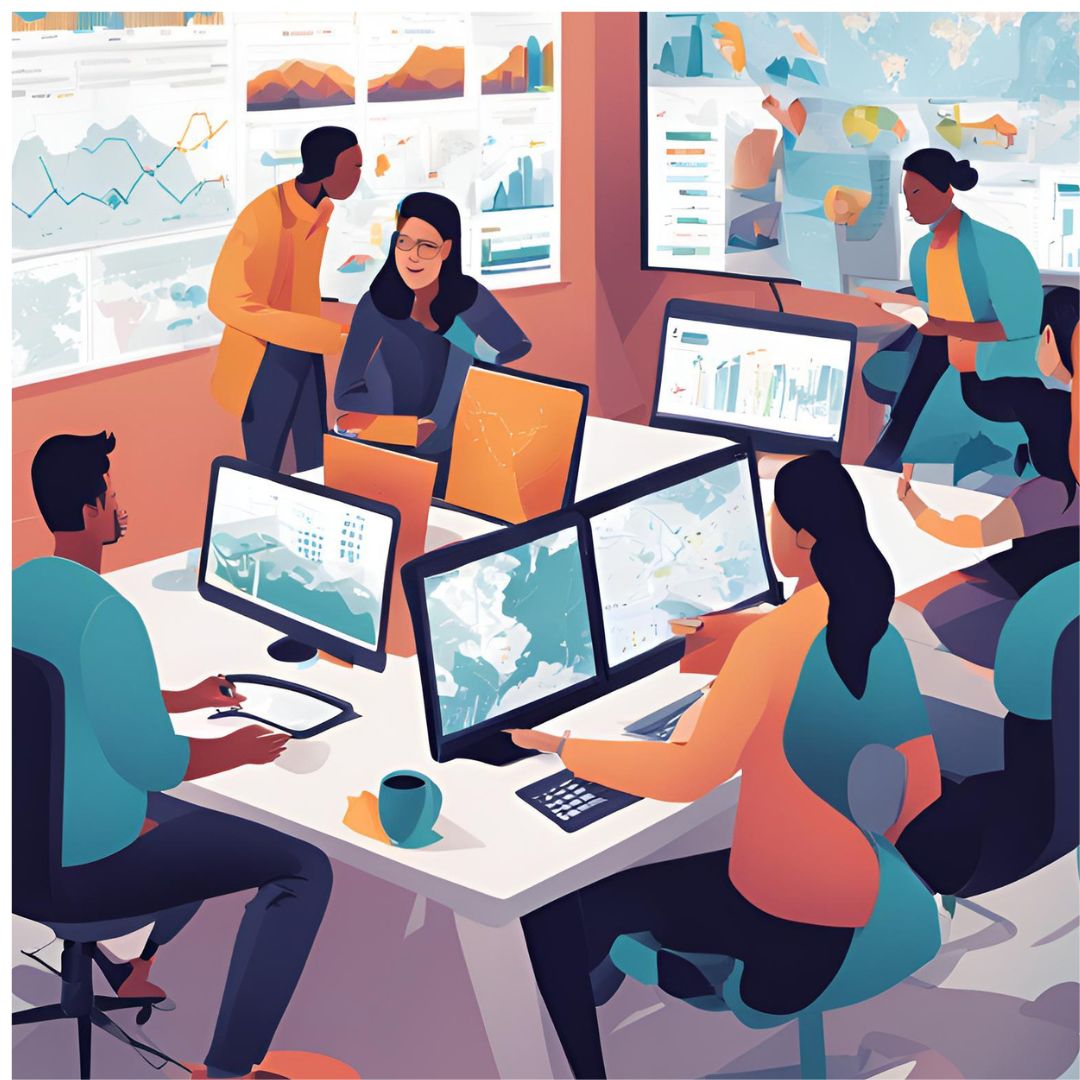
Schedule an AppointmentI'm a Full Stack Engineer focused on building production-grade fintech platforms — designing backend APIs, integrating machine learning models into real-time fraud detection pipelines, and developing the frontend interfaces that tie it all together. I work across the entire stack with a strong emphasis on system architecture, code quality, and scalability.
My path here started in Geomatics Engineering, which gave me a rigorous foundation in complex data systems, spatial analysis, and precision thinking. Since 2019 I've delivered 500+ projects — spanning freelance consulting, corporate GIS development, and now fintech engineering — for clients across 20+ countries. That range sharpened my ability to move fast, solve hard problems, and communicate clearly across technical and non-technical audiences, carrying me from a GIS Developer role into my current focus: full stack engineering for fintech platforms.
I hold a Bachelor of Science in Geomatics Engineering and GIS from Jomo Kenyatta University of Agriculture & Technology, and am certified in Software Engineering and Data Analytics. I occasionally take on geospatial portal work when the problem is compelling, but building fast, reliable systems for high-stakes financial decisions is where I spend most of my time today.
Schedule an Appointment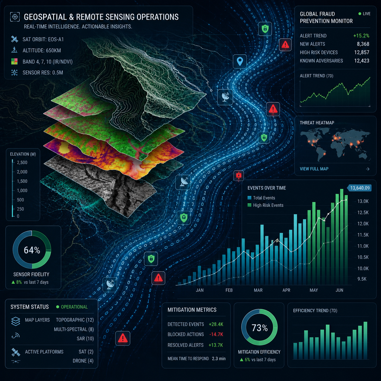
Services

Design and build scalable fintech backends, payment systems, and APIs built for high-volume, high-stakes environments.
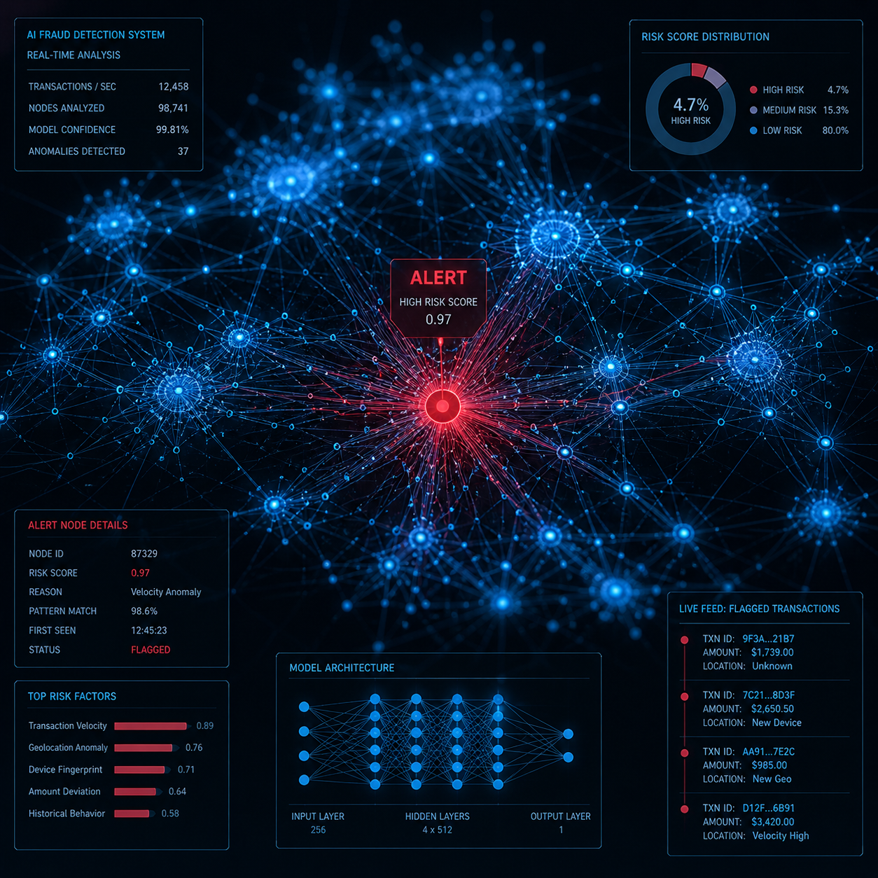
Integrate machine learning models into real-time fraud scoring and transaction decisioning pipelines.
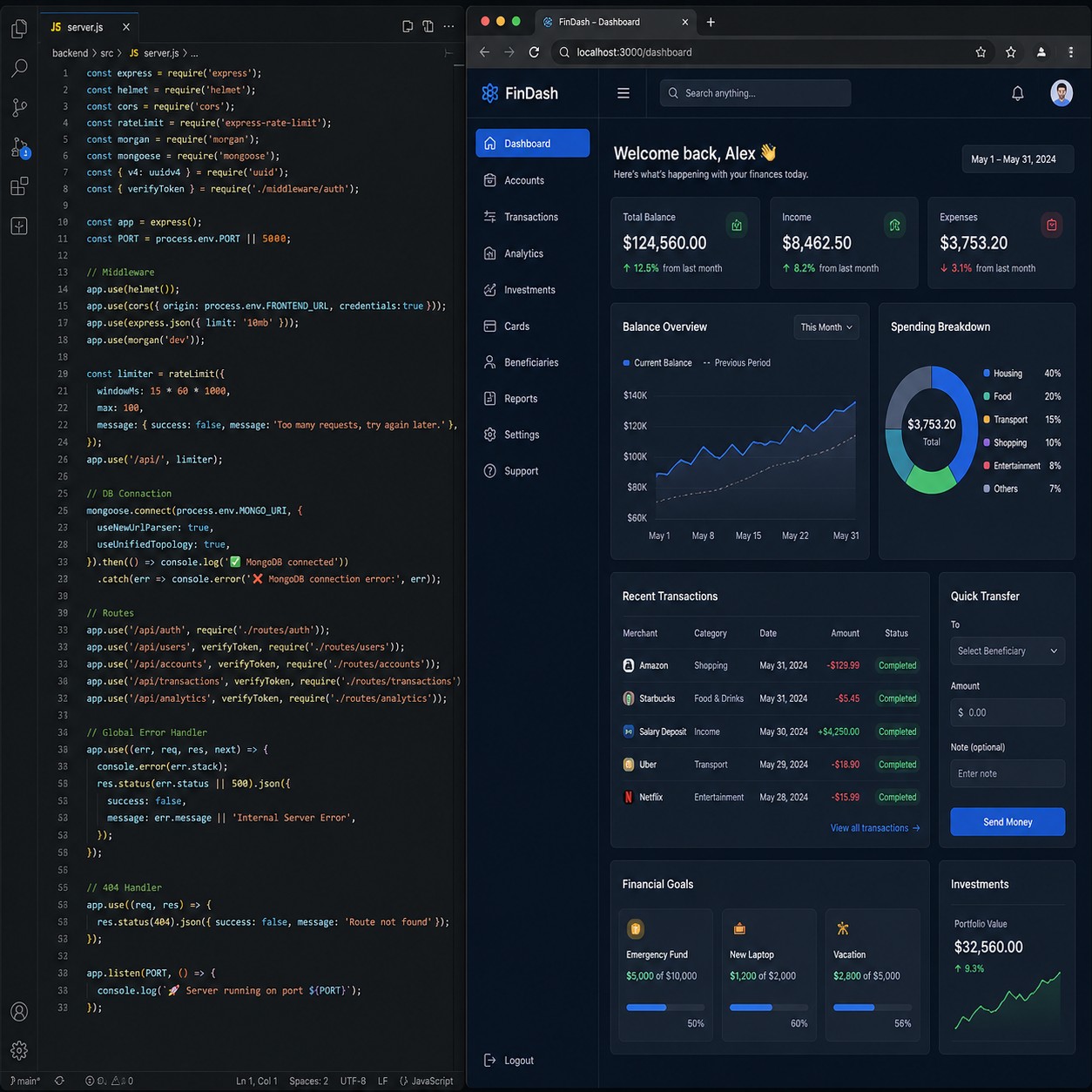
End-to-end web application development — from robust backend services to clean, responsive frontend interfaces.

Transform spatial data into actionable insights with expert GIS web development and interactive map dashboards.

Unlock insights from complex datasets with Python-based analysis, visualization, and machine learning pipelines.
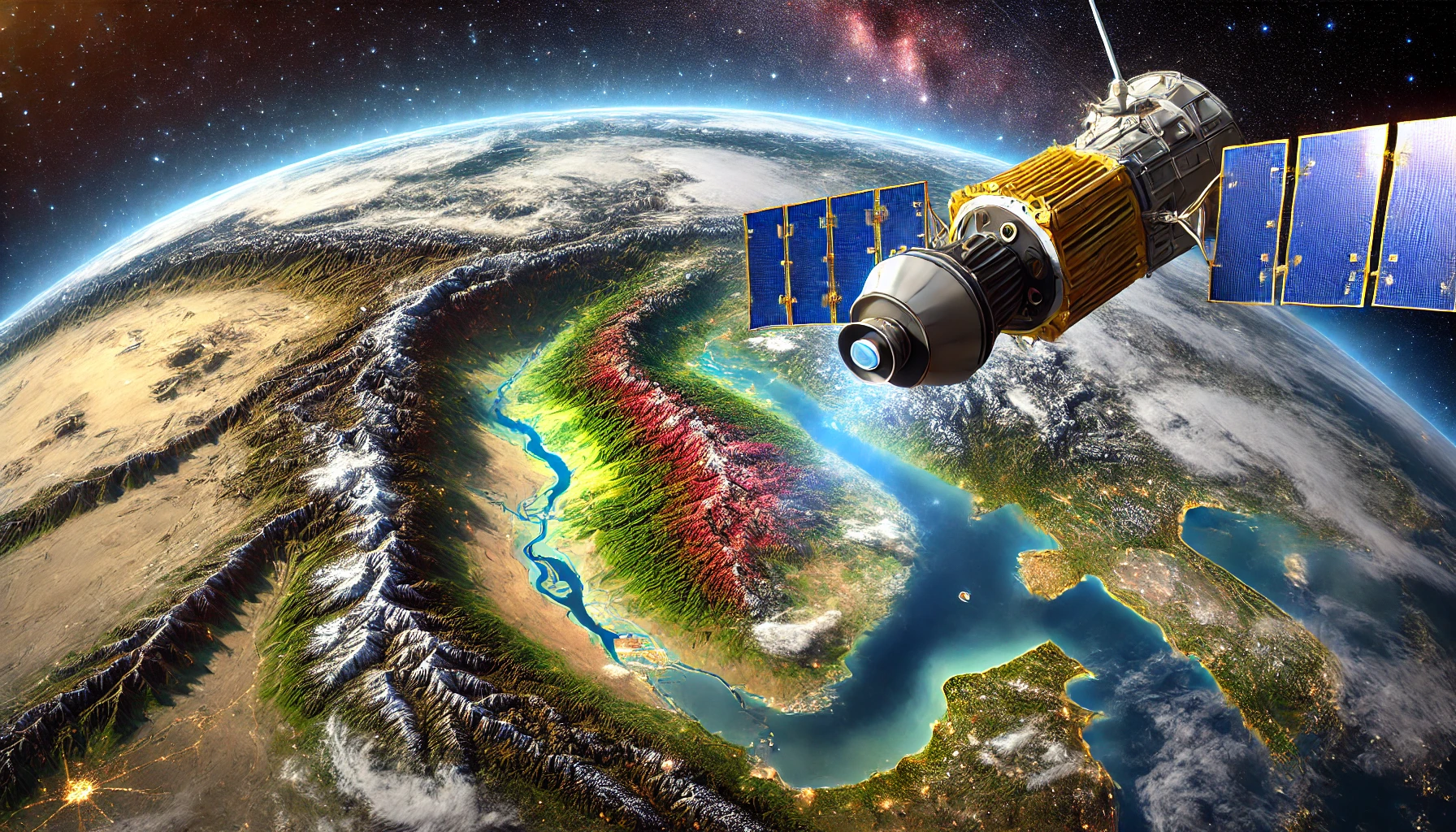
Gain critical environmental and land-use insights from satellite and aerial imagery analysis.
Portfolio

Developed an AI-powered Flask web app that customizes resumes and cover letters for specific jobs using AI.

Developed a JavaScript bidding bot packaged in a chrome extension to optimize freelance platform advertising.
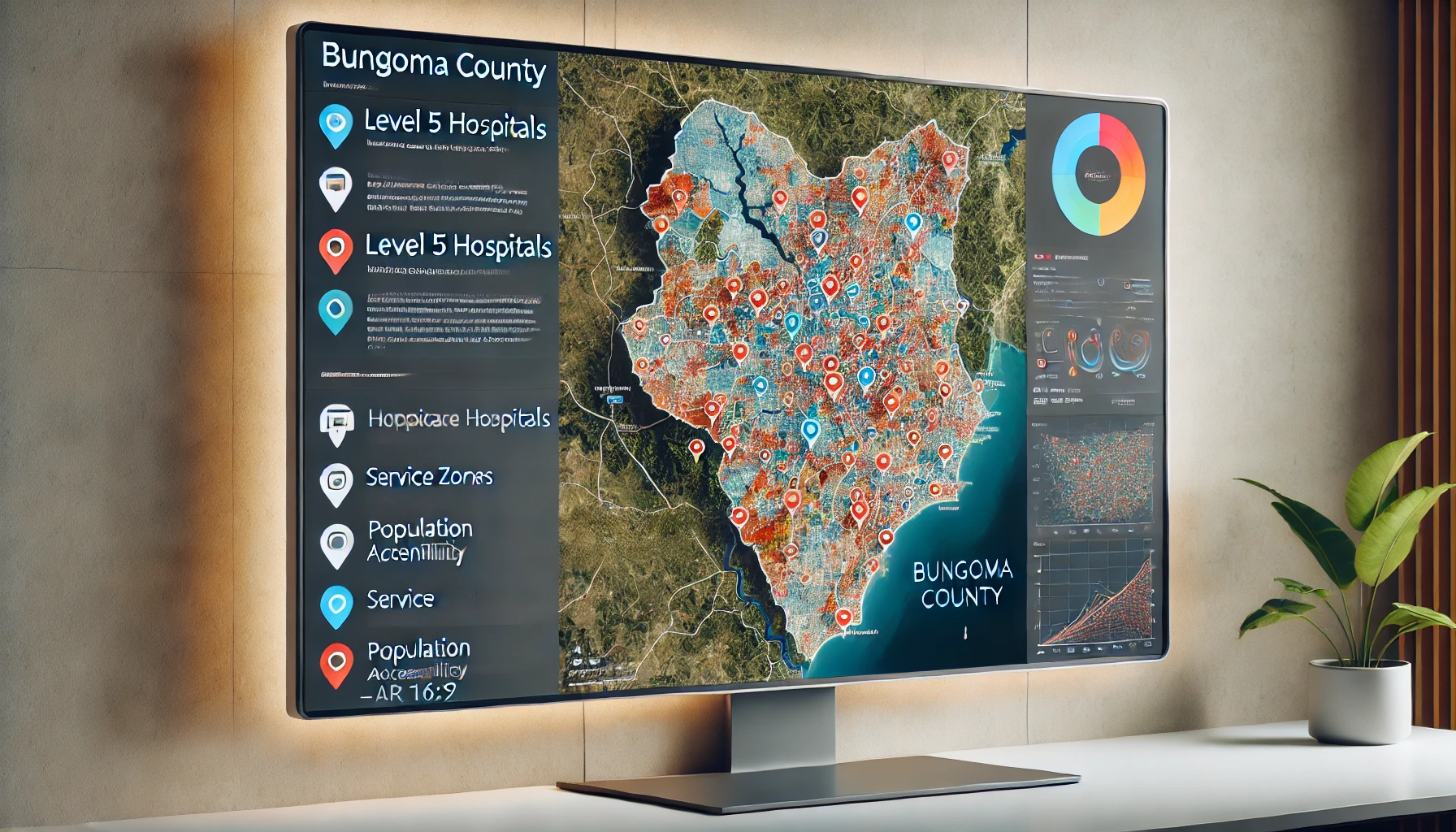
Use advanced optimization techniques to enhance the accessibility and distribution of specialized healthcare services across the region.
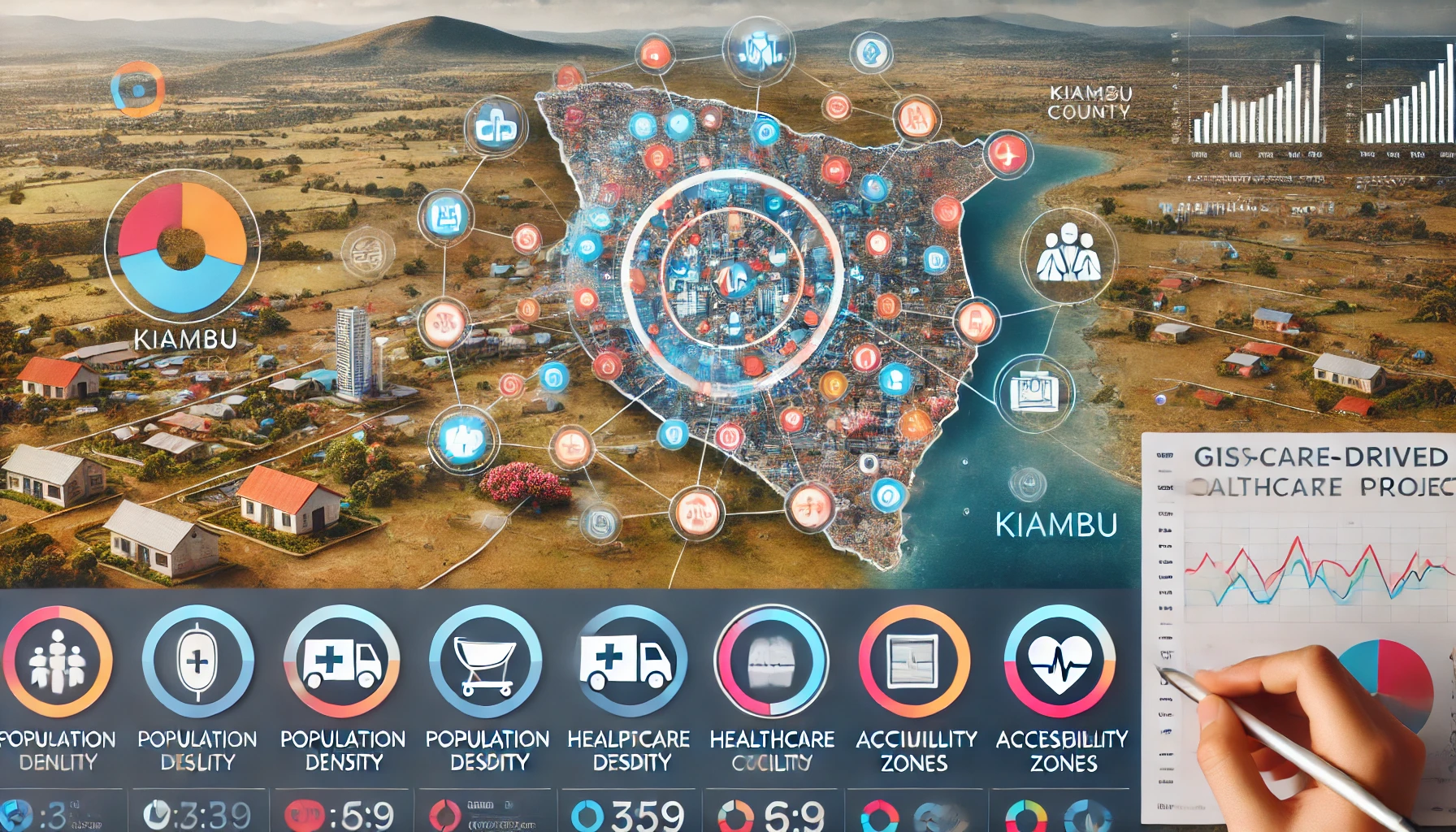
A GIS-driven project optimizing healthcare facility locations for better access in Kiambu County.
Blog
By combining spatial analysis with advanced data techniques, you can unlock powerful insights to optimize operations, understand customer behavior, and drive growth.

Explore how the integration of GIS and remote sensing technologies offers powerful insights for monitoring environmental changes, optimizing resource management, and promoting sustainable development.
Learn how precision farming, crop monitoring, and yield prediction are revolutionizing agriculture and paving the way for a more sustainable future.

Discover how spatial data supports infrastructure planning, traffic management, and environmental monitoring to build smarter, more sustainable cities.
Discover how geospatial analytics can help you gain deep insights into customer behavior, improve marketing strategies, and drive business growth.
Contact

Monday - Friday: 8:00am - 10:00pm
Sunday: 9:00am - 12:00pm
Schedule an Appointment