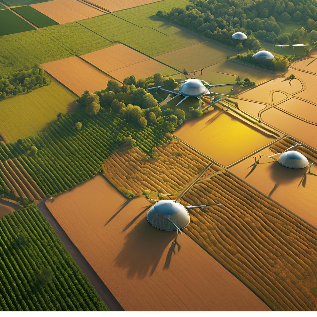
1. Precision Farming: Optimizing Agricultural Practices
Precision farming leverages GIS, data science, and remote sensing to optimize farming practices. Key applications include:
- Soil Analysis: Use GIS and remote sensing to map soil properties like pH, moisture, and nutrient levels, enabling targeted fertilization and irrigation.
- Variable Rate Technology (VRT): Apply inputs (e.g., seeds, fertilizers) at variable rates based on spatial data, reducing waste and improving yields.
- Automated Machinery: Deploy GPS-guided tractors and drones to perform tasks like planting, spraying, and harvesting with precision.
These technologies help farmers maximize efficiency while minimizing environmental impact.
2. Crop Monitoring: Real-Time Insights for Better Decisions
Crop monitoring uses remote sensing and GIS to track crop health and growth. Benefits include:
- Satellite Imagery: Monitor large fields for signs of stress, disease, or pest infestations.
- Drone Technology: Capture high-resolution images to assess crop conditions at a granular level.
- NDVI (Normalized Difference Vegetation Index): Use spectral analysis to measure plant health and detect issues early.
Real-time insights enable farmers to take timely action, reducing losses and improving crop quality.
3. Yield Prediction: Forecasting Agricultural Output
Yield prediction combines historical data, weather patterns, and machine learning to forecast crop yields. Key benefits include:
- Data-Driven Decisions: Use predictive models to plan planting schedules, resource allocation, and market strategies.
- Risk Management: Anticipate potential yield losses due to weather events or pests, allowing for proactive measures.
- Improved Planning: Accurately estimate harvest volumes to optimize storage, logistics, and sales.
Yield prediction helps farmers and agribusinesses make informed decisions and reduce uncertainty.
4. Remote Sensing: A Game-Changer for Agriculture
Remote sensing plays a critical role in modern agriculture by providing detailed, real-time data. Applications include:
- Drought Monitoring: Use satellite data to detect drought conditions and optimize water usage.
- Pest and Disease Detection: Identify affected areas early to prevent widespread damage.
- Crop Health Assessment: Analyze vegetation indices to monitor crop health and growth stages.
Remote sensing enables farmers to make data-driven decisions and respond quickly to challenges.
5. Sustainable Agriculture: Reducing Environmental Impact
GIS, data science, and remote sensing promote sustainable agriculture by:
- Water Management: Optimize irrigation and reduce water waste using geospatial data.
- Carbon Footprint Reduction: Analyze farming practices to minimize greenhouse gas emissions.
- Biodiversity Preservation: Identify and protect ecologically sensitive areas within farmland.
These practices ensure long-term sustainability while maintaining productivity.
6. The Future of Agriculture: Smart Farming
The future of agriculture lies in smart farming, where IoT devices, AI, GIS, and remote sensing work together to create fully automated and data-driven farming systems. Key trends include:
- IoT Sensors: Monitor soil, weather, and crop conditions in real time.
- AI-Powered Insights: Use machine learning to analyze data and provide actionable recommendations.
- Blockchain for Traceability: Track the entire supply chain, from farm to table, ensuring transparency and quality.
Smart farming promises to revolutionize agriculture, making it more efficient, sustainable, and resilient.
Conclusion
GIS, data science, and remote sensing are transforming agriculture, enabling farmers to optimize their practices and increase productivity. By leveraging these technologies, agribusinesses can make smarter decisions, reduce costs, and promote sustainability. If you're ready to embrace the future of agriculture, contact me to learn how I can help you implement these cutting-edge solutions.
