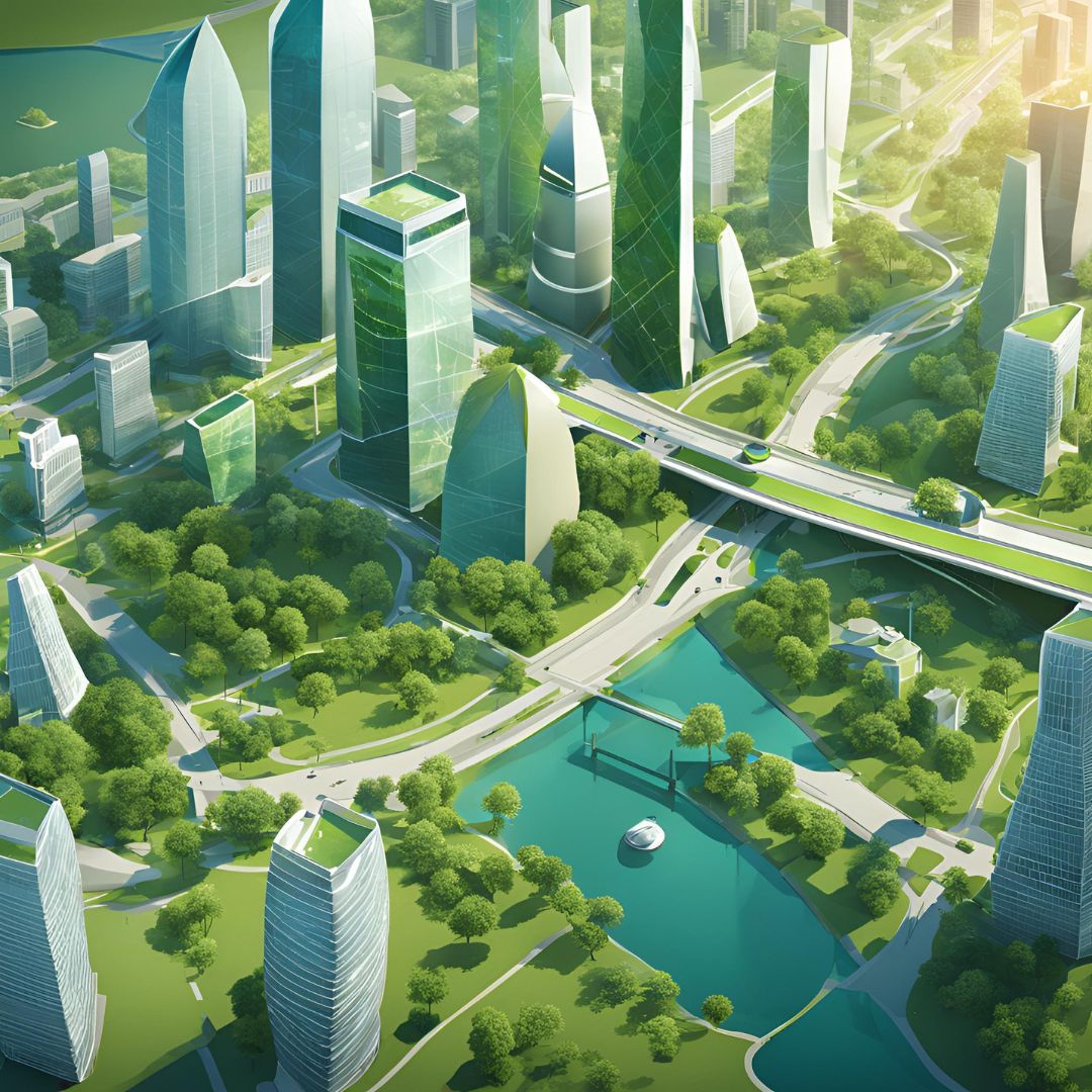
How GIS and Remote Sensing Improve Urban Planning and Smart Cities
Cities worldwide are adopting GIS (Geographic Information Systems) and remote sensing technologies to improve infrastructure, optimize transportation, and enhance environmental monitoring. This blog explores how spatial data is shaping the future of smart cities.
1. Infrastructure Planning with GIS
GIS helps city planners design efficient infrastructure, optimize land use, and improve public services. Key benefits include:
- Site selection for roads, hospitals, and public utilities.
- Land use mapping for sustainable development.
- Flood risk analysis and disaster preparedness.
Example: Singapore uses GIS for real-time infrastructure planning and efficient resource allocation.
2. Smart Traffic Management
GIS and real-time traffic data enable smart cities to reduce congestion and improve public transit efficiency by:
- Analyzing traffic patterns to optimize road networks.
- Integrating GPS and IoT for real-time transportation updates.
- Developing intelligent traffic light systems.
Example: London's smart traffic system adjusts signals dynamically to reduce travel delays.
3. Environmental Monitoring & Sustainability
Remote sensing allows cities to track environmental changes and implement sustainable policies by:
- Monitoring air and water pollution.
- Identifying deforestation and urban heat islands.
- Tracking climate change effects in urban areas.
Example: Los Angeles uses satellite data to analyze air quality and reduce pollution.
4. Real Estate Development & Urban Expansion
GIS is a critical tool for real estate investors, city planners, and developers to:
- Assess property values based on location data.
- Analyze zoning laws for urban expansion.
- Identify high-demand areas for new developments.
Example: Dubai leverages GIS for smart zoning and property market analysis.
5. Emergency Response & Disaster Management
GIS helps cities prepare for disasters and coordinate emergency response efforts by:
- Mapping risk-prone areas for proactive planning.
- Tracking the spread of wildfires, floods, and storms.
- Optimizing emergency response routes and shelters.
Example: Japan integrates GIS with earthquake early warning systems for rapid response.
Conclusion
GIS and remote sensing are transforming urban planning by improving efficiency, sustainability, and resilience. As cities evolve into smart urban centers, leveraging these technologies will be essential for data-driven decision-making.
Are you looking to integrate GIS solutions into urban planning or smart city development? Contact me today to explore how geospatial technology can enhance your projects.