Get in touch
Hours
Monday - Friday: 8:00am - 10:00pm
Sunday: 9:00am - 12:00pm
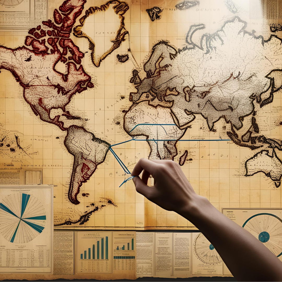
Schedule an AppointmentCrafting compelling narratives from spatial intelligence
View Services View ProjectsI'm a Geomatics Engineer specializing in GIS web development, data science, remote sensing, and advanced spatial analysis. I combine my technical expertise in web development, machine learning, and geospatial analysis with strong communication skills in writing.
My experience ranges from freelance consulting, where I've delivered over 500 projects to more than 300 clients worldwide, to corporate GIS solutions. I hold a degree in Geomatics Engineering and GIS, and I'm also certified in Data Science and Software Development.
This unique skill set allows me to integrate AI, data science methodologies, and modern web technologies into advanced geospatial solutions. I'm committed to providing high-quality, impactful work. Feel free to explore my projects and connect with me to discuss how I can help you achieve your goals.
Schedule an Appointment
QGIS, ArcGIS Pro, Advanced Spatial Analysis, Network Analysis
Image Processing, Change Detection, Spectral Analysis, Feature Extraction
Mapping, Cartography, Surveying, Database Management, Excel, Access, Tableau, Power BI
Python, Automation, R, SQL, JavaScript, AI Integration, REACT, Data Analysis, Software Development
Advanced imaging techniques, 3D mapping, and modeling
Transform your data into actionable insights with expert geospatial solutions.

Unlock valuable insights from your data with my data science expertise.
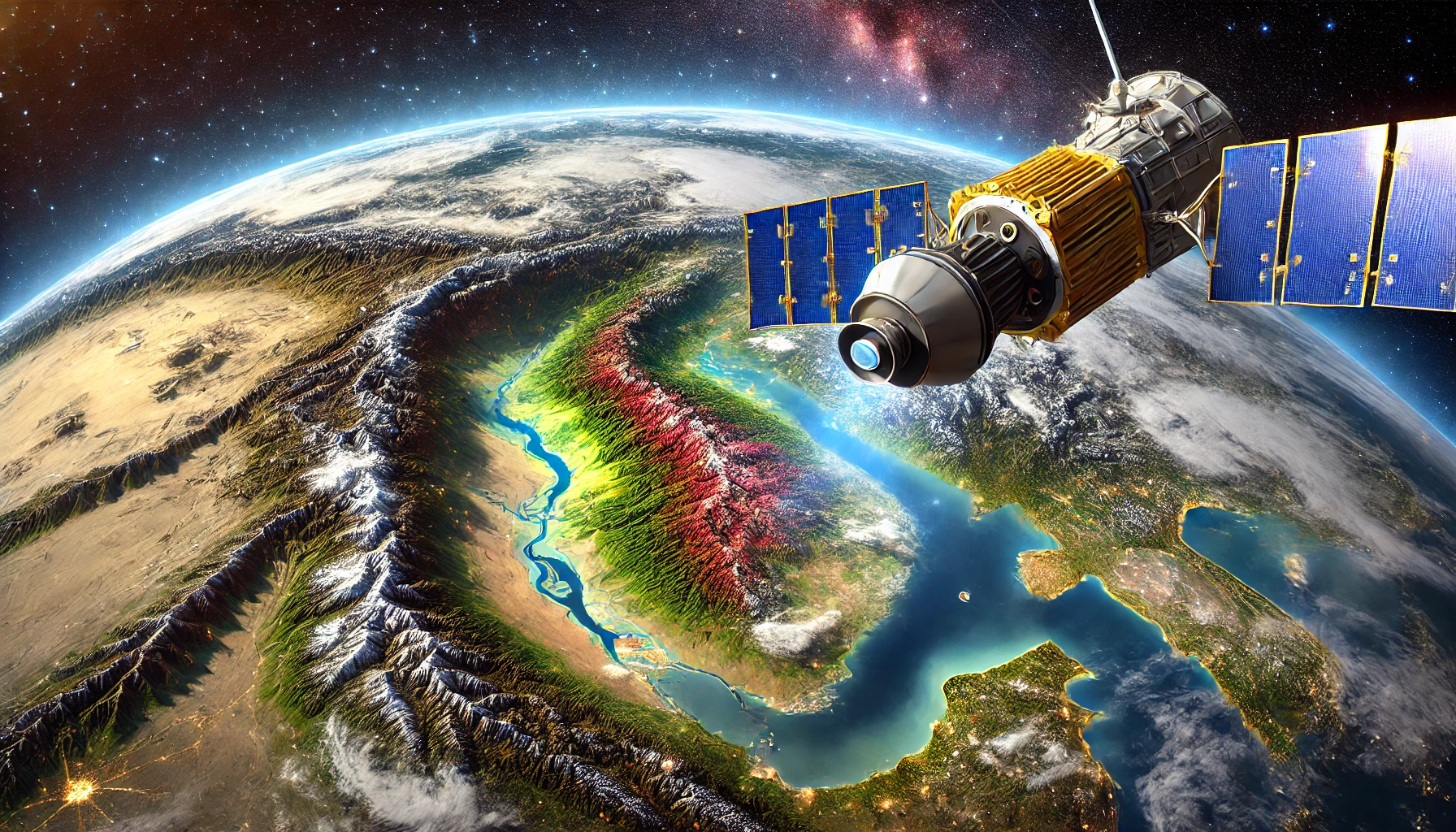
Gain critical insights from satellite and aerial imagery with remote sensing.

Craft high-quality research papers, presentations, and technical reports tailored to your needs.
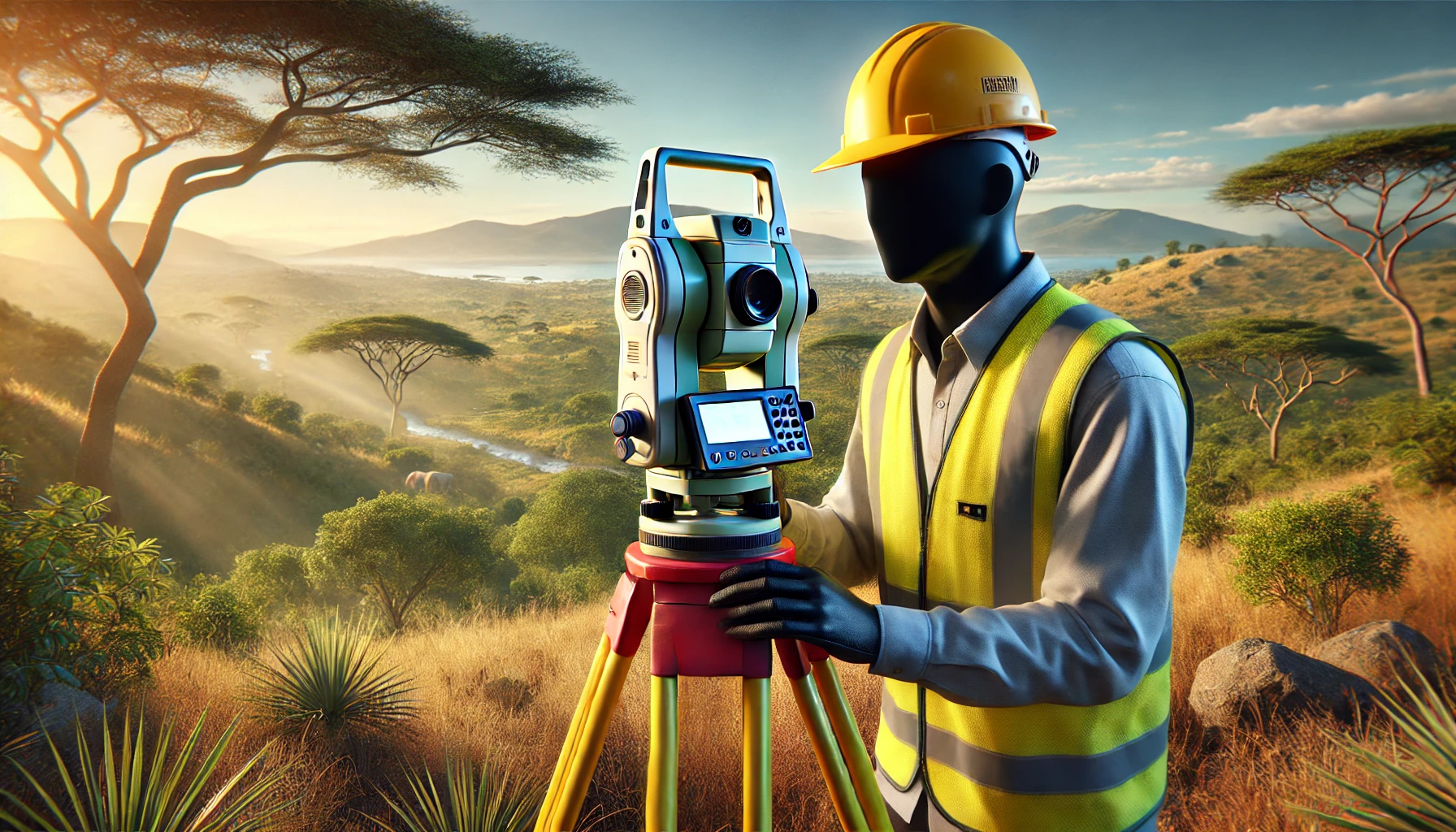
Deliver precise land survey data and mapping solutions with expert cadastral surveying skills.

Build dynamic, scalable web solutions with robust front-end and back-end development expertise.
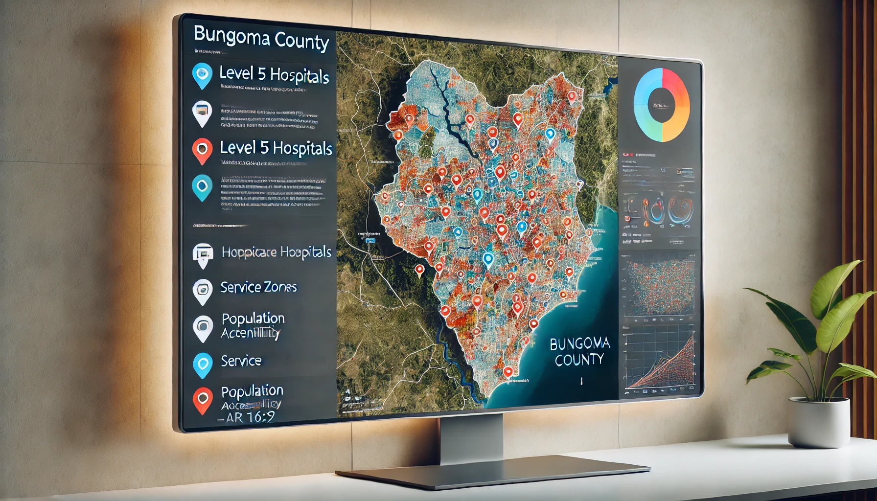
Use advanced optimization techniques to enhance the accessibility and distribution of specialized healthcare services across the region.

Developed an AI-powered Flask web app that customizes resumes and cover letters for specific jobs using AI.
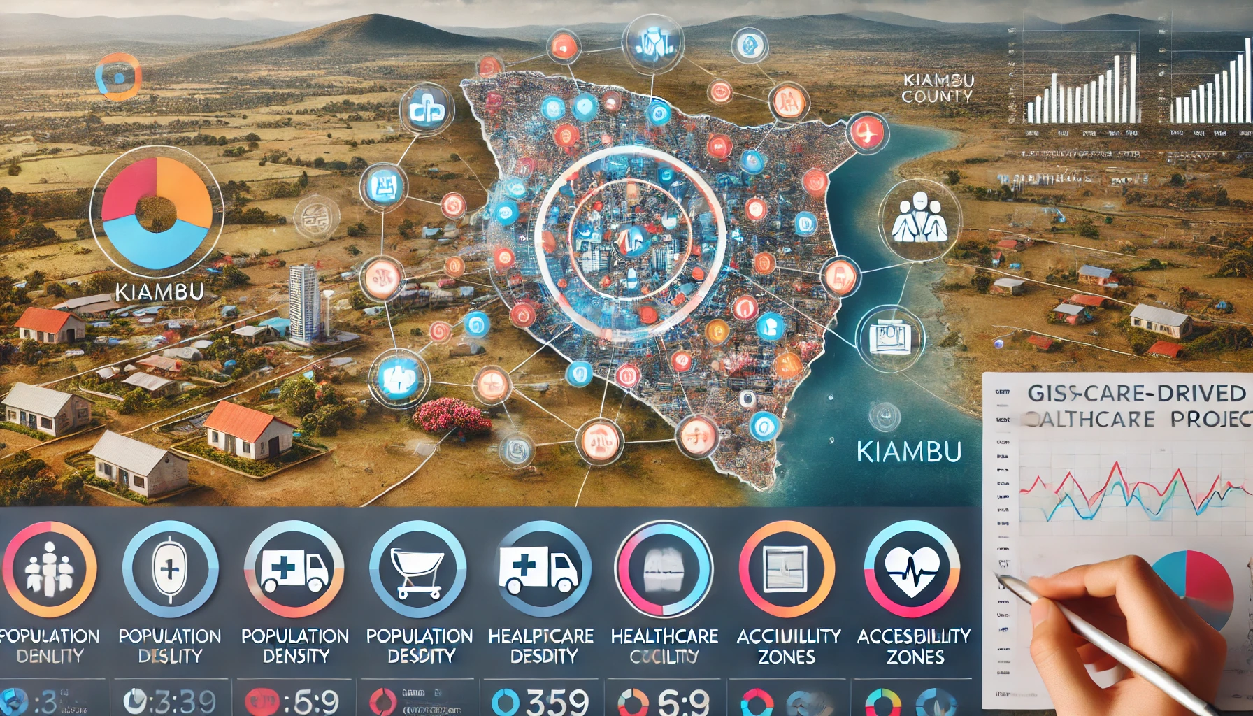
A GIS-driven project optimizing healthcare facility locations for better access in Kiambu County.

Developed a JavaScript bidding bot packaged in a chrome extension to optimize freelance platform advertising.
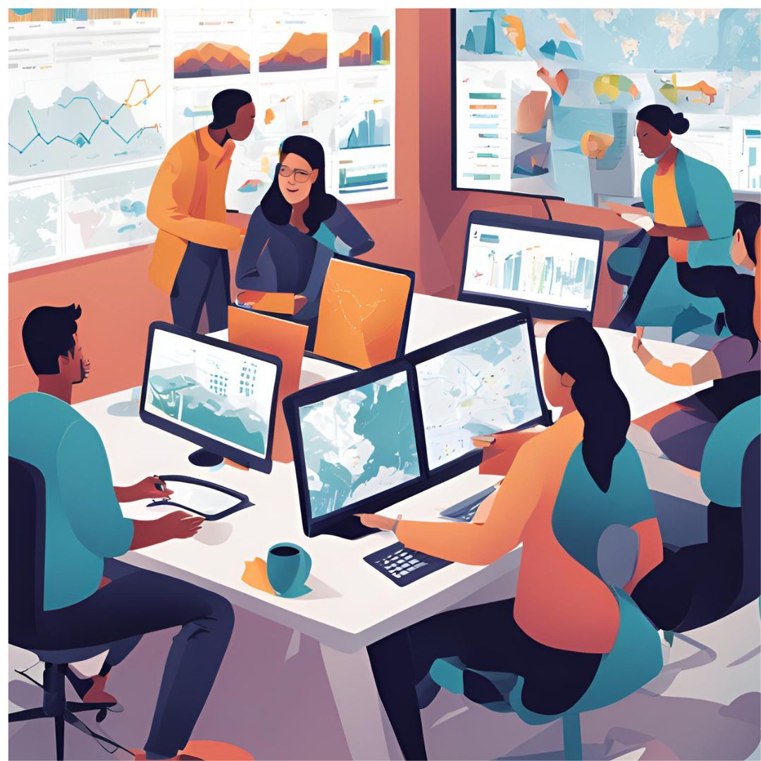
By combining spatial analysis with advanced data techniques, you can unlock powerful insights to optimize operations, understand customer behavior, and drive growth.
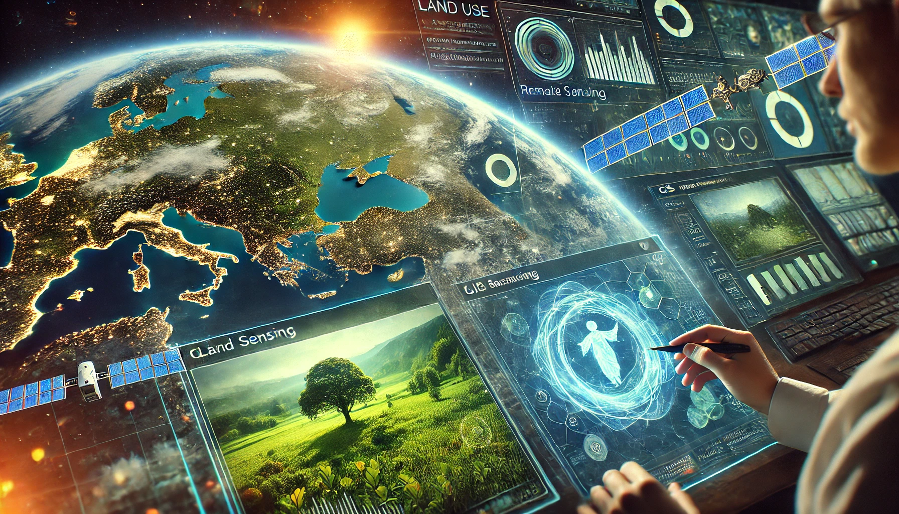
Explore how the integration of GIS and remote sensing technologies offers powerful insights for monitoring environmental changes, optimizing resource management, and promoting sustainable development.
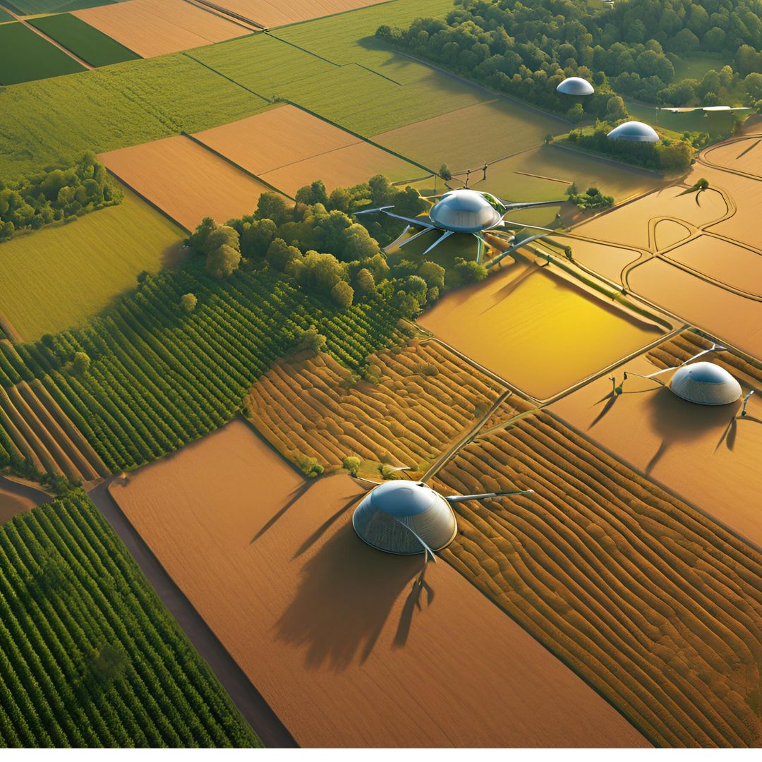
Learn how precision farming, crop monitoring, and yield prediction are revolutionizing agriculture and paving the way for a more sustainable future.
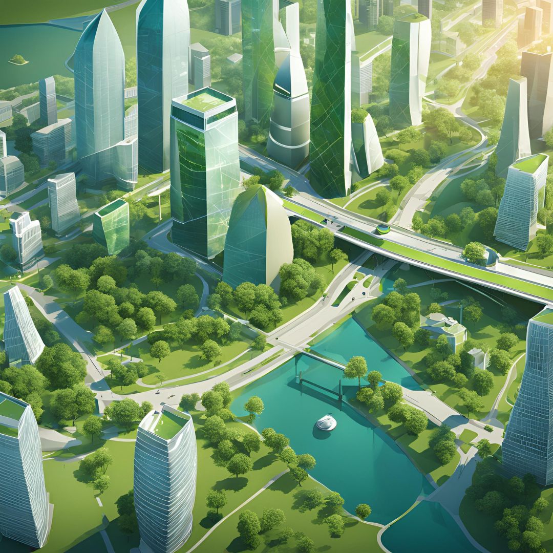
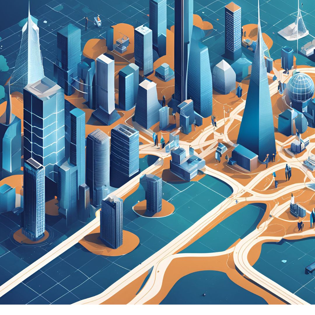
Discover how spatial data supports infrastructure planning, traffic management, and environmental monitoring to build smarter, more sustainable cities.
Discover how geospatial analytics can help you gain deep insights into customer behavior, improve marketing strategies, and drive business growth.

Monday - Friday: 8:00am - 10:00pm
Sunday: 9:00am - 12:00pm
Schedule an Appointment